The Plan Senegal Emergent (PSE) is supported by the presidency of Senegal for “an emerging Senegal in 2035. The Emergency Program for the Modernization of Frontier Axes and Territories (PUMA) has been developed.
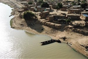
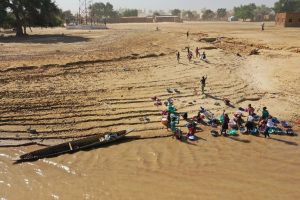
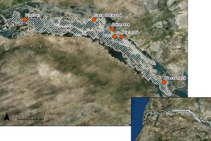
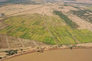
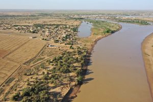
One border area that has been identified as a project area is the island region of Morfil in northern Senegal. In this region, the Senegal River forms the border between Senegal and Mauritania. Morfil Island is wedged between the Senegal River and its tributary, the Doué. It stretches for a length of about 200 km and goes from Doué, west of Podor to Wending in the east. More than 50,000 inhabitants currently live there. There are a few villages on the island located at the end of the Senegal River, they are affected by fluvial processes. The 6 villages selected for this project are: Diattar, Dara Halaybé, Démette, Boki, Walaldé, Wassétaké.
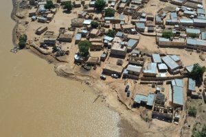
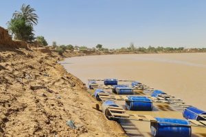
The degradation of the riverbank caused by the riverine process and the neglect to address this problem have had serious consequences, such as the loss of buildings and (agricultural) land.
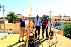
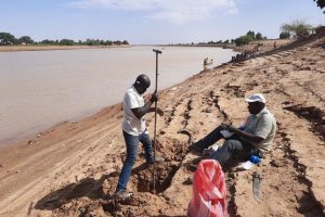
CDR has carried out the project with the following assignments:
A. Study of the river and prioritization of protection sections
B. Selection of the type of protection, design and definition of the pilot project
C. Execution of the pilot project
D. Tender assistance and supervision

