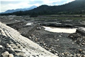
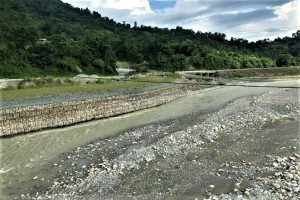
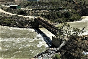
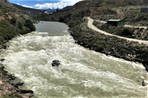
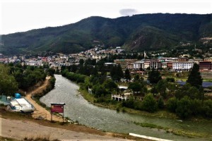
Gelephu is located along the Maw River bank and suffers from flash floods and river bank erosion. The Maw River and its tributaries are characterized by sand- gravel beds. The small streams are ephemeral and discharge water and sediment only in events of moderately heavy rain, which is typically a monsoon phenomenon. Under a changed future climate, the frequency and intensity of flash flood hazards may increase. A feasibility study for the river protection works to mitigate the adverse effect of the flood events is carried out. A preliminary ESIA is carried out.
In this D2B (Development to Build) project, CDR and its partners have planned the following assignments:
- River system analysis using SWAT and HEC-RAS models;
- Flood risk analysis river;
- Selection of interventions;
- Preliminary assessment of technical, financial, economic, social and environmental feasibility;
- Technical Assistance / Transfer of Knowledge (training).
Site Visit Bhutan

